Pixelcut
A dynamic 3D property boundary map showing colored zones overlaid on a satellite image of a neighborhood. The hero image showcases the final output of a mapping tool, with clear parcel lines and data callouts.

AI Property Boundary Map Generator

7000万人に信頼されています
171,800件のレビュー
開発者API
iPhoneAndroid で利用可能

How to Create a Property Boundary Map

  1. 1

    Upload Your Base Map

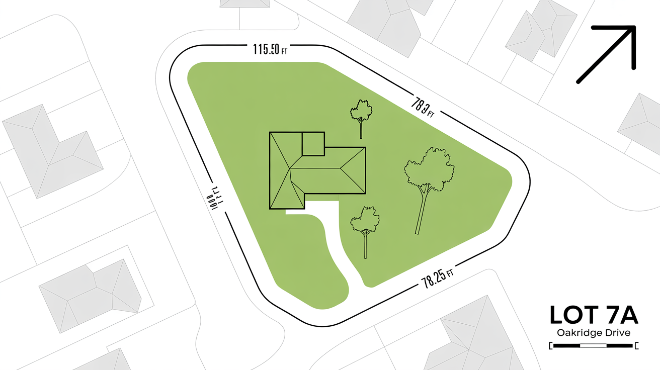
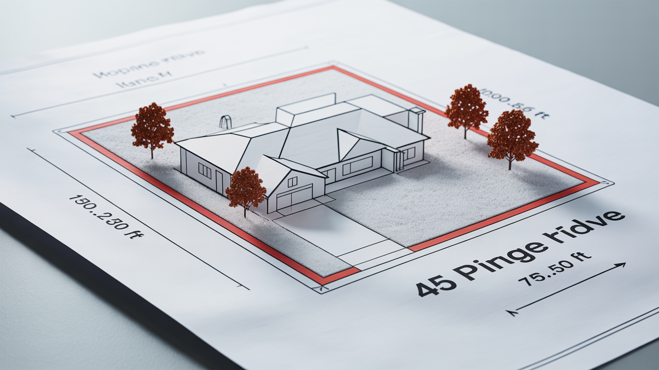
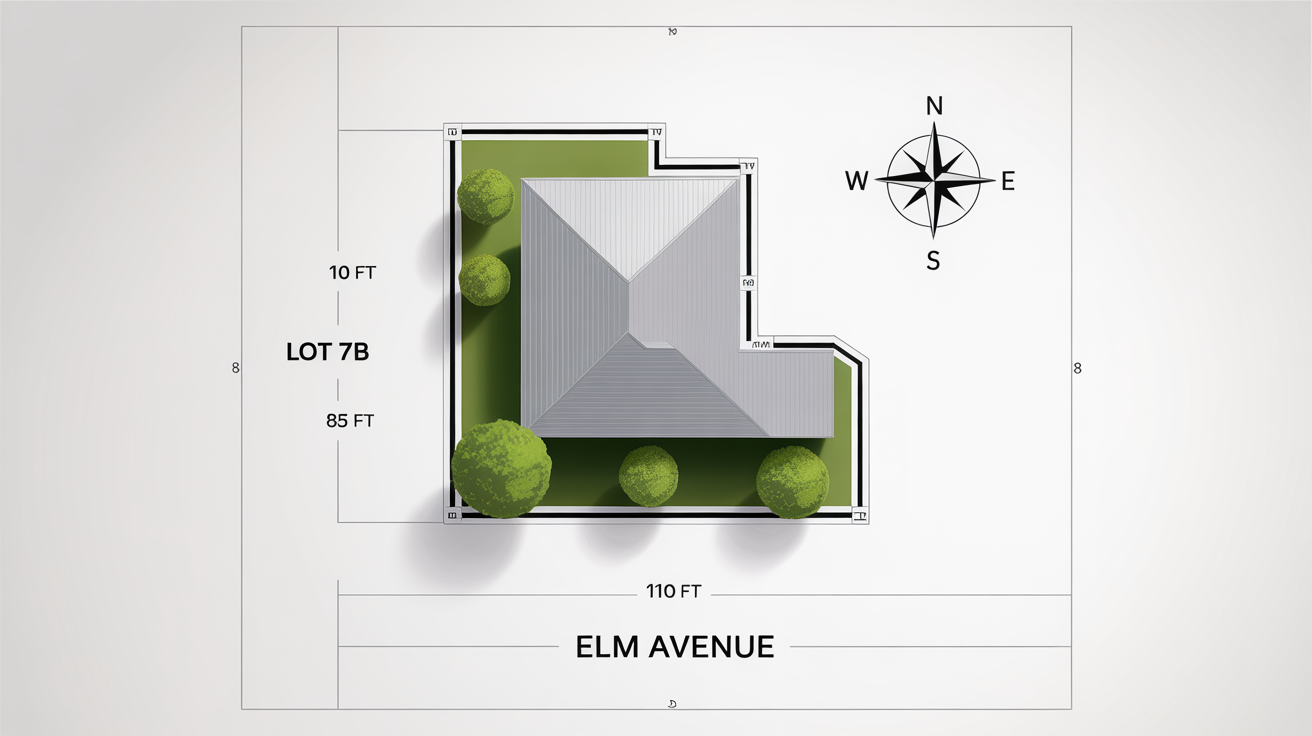
    Start by uploading an image. This can be a satellite view, a photo of a plat map, or a hand-drawn sketch of the property.

  2. 2

    Describe Your Map Details

    In the text box, explain how you want the AI to draw the map. Specify colors for zones and line styles for boundaries.

  3. 3

    Generate Your Map

    Click the generate button. The AI will process your image and prompt to create a new, stylized property boundary map.

  4. 4

    Download Your Map

    Your custom property map is ready to download as a high-resolution PNG file. It's perfect for presentations, reports, or personal use.
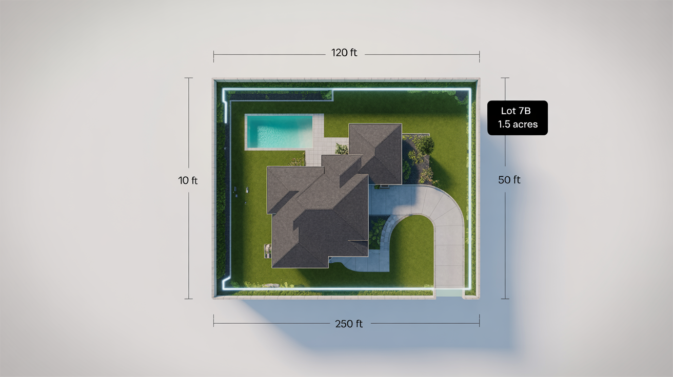
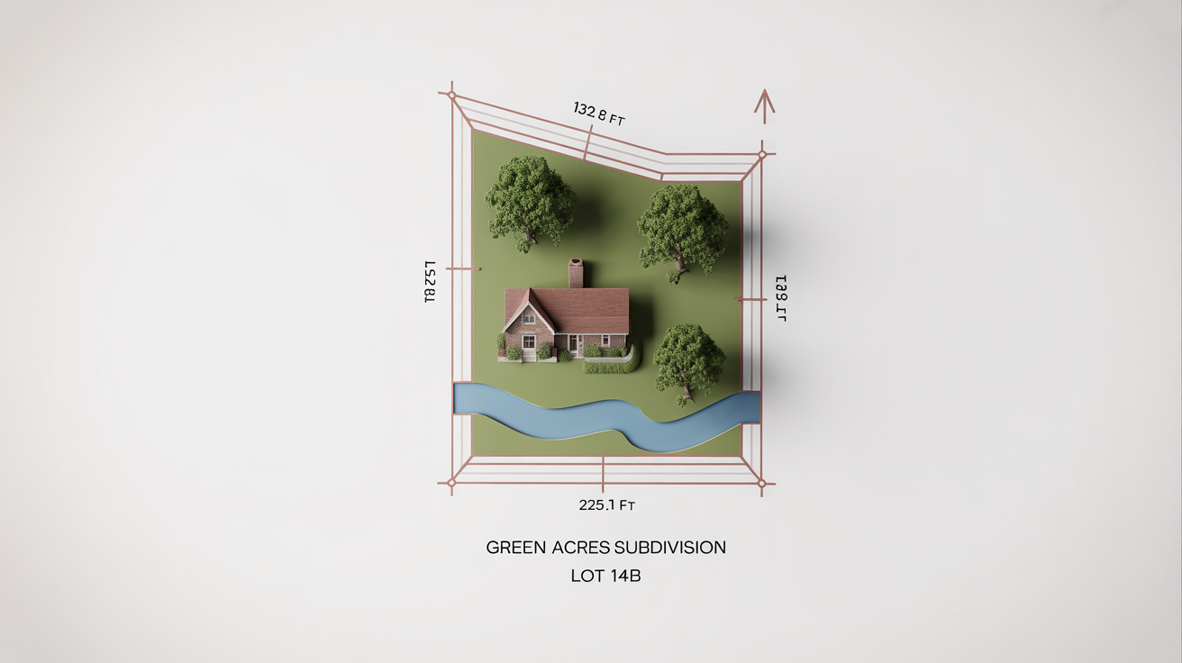
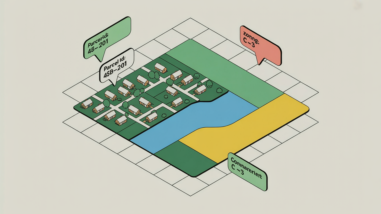
Transform complex surveys or simple sketches into clean, easy-to-read property maps. Our AI-powered tool helps you create visual representations of land parcels without needing any drafting software. Simply upload an existing map, a satellite image, or even a hand-drawn plan, and describe how you want it to look. The AI will generate a polished and stylized map that clearly outlines different zones and boundaries. It’s perfect for quickly communicating property layouts to clients, stakeholders, or for your personal reference.

Instantly Visualize Property Layouts

A clean and professional mockup of a property boundary map for a residential lot, showing clear boundary lines with measurements, a house outline, and street names on a white background.
Bring clarity to your maps by using custom styles. Describe exactly how you want your property map to appear by assigning colors to different zones. For example, you can specify light green for residential areas, blue for commercial lots, and yellow for agricultural land. You can also ask the AI to include labels for property names or parcel numbers, making the map informative and easy to understand at a glance. This is ideal for real estate agents creating listing materials or developers presenting a site plan.

Custom Color-Coding and Labels

A professional mockup of a property boundary map for a suburban house, displayed on a white background, clearly showing property lines and measurements.
Don’t have a formal plat map? No problem. Pixelcut's AI can work with what you provide. Upload a rough drawing of your property’s boundaries, and our tool will interpret the lines to produce a clean and professional-looking map. This feature is great for homeowners looking to visualize a landscaping project or for planners who want to quickly mock up a potential development idea. Turn your initial concepts into a presentable format in just a few moments, streamlining your workflow and helping you communicate your vision effectively.

From Rough Sketch to Polished Map

A clear, modern property boundary map on a white background, showing the dimensions and layout of 'LOT 7B' on 'ELM AVENUE' with a simple house and tree icons.
It’s Fast: Generate a complete property map from your image and text prompt in seconds, not hours. It’s Easy to Use: No GIS or CAD experience needed. Just upload your base image and describe the final map you envision. AI-Powered: Use artificial intelligence to interpret sketches and apply sophisticated styling automatically. Clear Visuals: Create clean, professional-looking maps that are perfect for presentations and reports. Versatile: Works with satellite views, official plats, or even simple hand-drawn sketches to produce a quality visual aid.

Why use Pixelcut's AI Property Boundary Map Generator?

A modern digital property boundary map showing a top-down satellite view of a house and yard. A bright teal line marks the property's perimeter, and text labels indicate dimensions and area.
Real Estate Marketing: Enhance property listings with a clear, color-coded map showing boundaries and nearby zones. Urban Planning: Quickly visualize zoning changes or new development proposals for community meetings. Landscaping and Construction: Create a simple site plan to map out projects on a property. Homeowner Reference: Keep a simplified visual record of your property lines for personal planning. Legal Presentations: Generate a visual aid to complement official survey documents in discussions with lawyers or neighbors (not for legal submission).

Property Boundary Map Use Cases

A clean and modern mockup of a property boundary map on a white background, showing a plot of land with red boundary lines, a house icon, and legible measurement labels.

よくある質問

Pixelcutは200万人以上に愛されています

  • 私のお気に入りのアプリ

    素晴らしいアプリ、使いやすい。中小企業がさまざまなマーケティング資料を専門的に作成するための時間と費用を節約できるようになります。ありがとう。
    シェイリン D.
  • 最高の背景除去剤

    私の仕事には優れた背景除去剤が必要で、私はそれをすべて経験してきました。これは今のところ最高です。使い方はとても簡単で、結果は常に素晴らしいものになります。ピクセルカットさん、ありがとうございます!
    キラ・H
  • 大好きです

    驚くほど簡単で、バッグやアクセサリーに完璧な結果が得られます。プロのカメラマンが撮影したようです。
    メアリー J.