My favorite app
Great app, easy to use. Helps our small business save time and money to create different marketing materials professionally. Thank you.
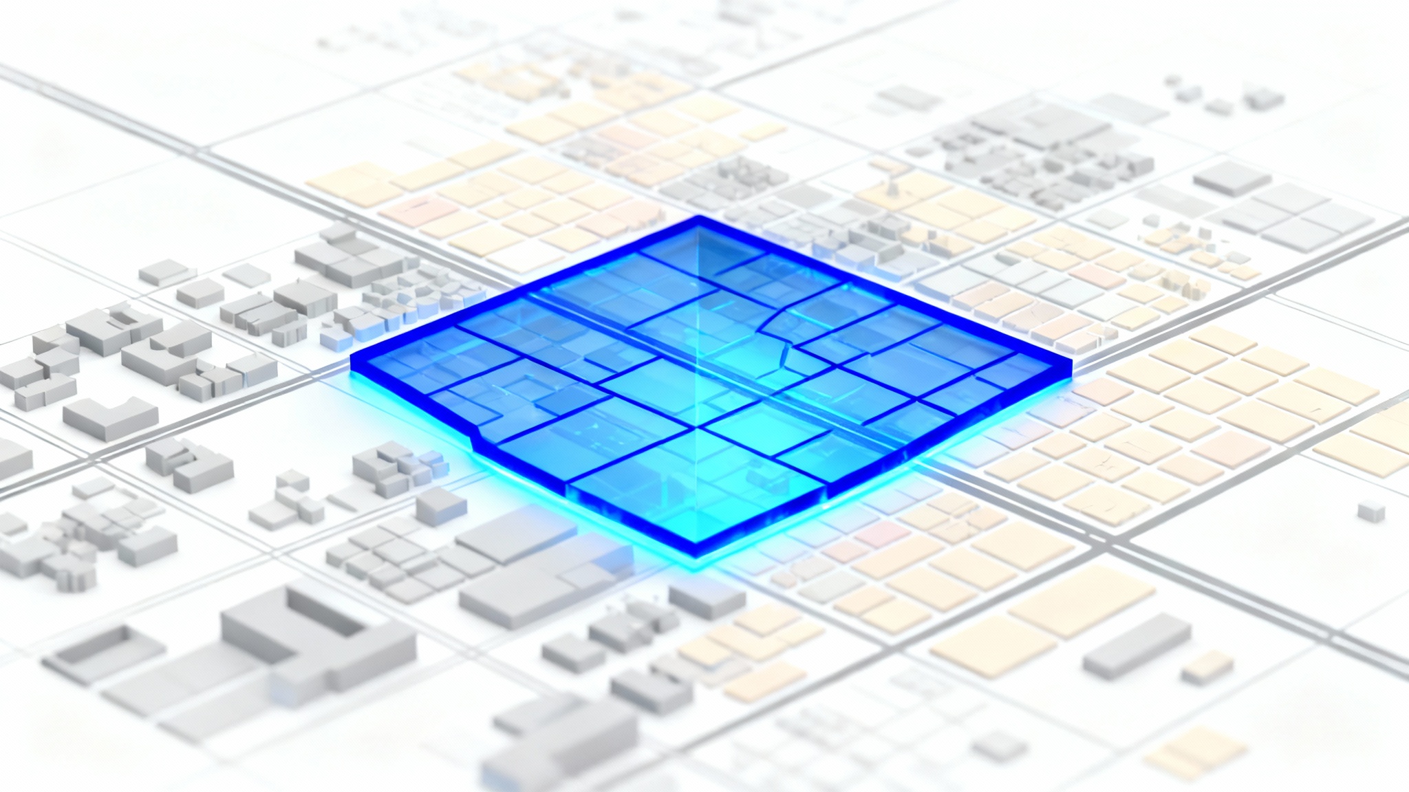
Start by uploading the map image you want to edit. This can be a city map, a geographical survey, or any custom map file.
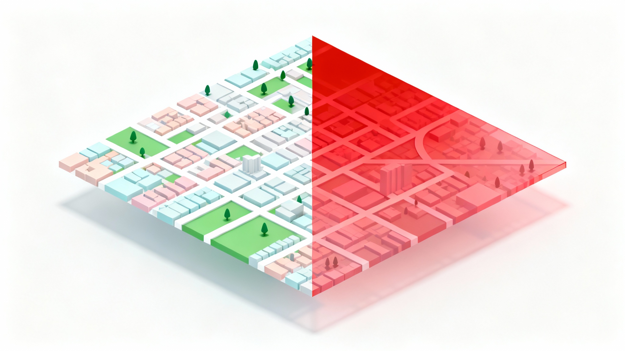
In the text box, describe the polygon you want to create. Be specific about the location, boundaries, color, and transparency for the best results.
Our AI will analyze your prompt and overlay the described polygon directly onto your map image in seconds.
Download your newly edited map as a high-resolution PNG file, ready for your project, presentation, or report.
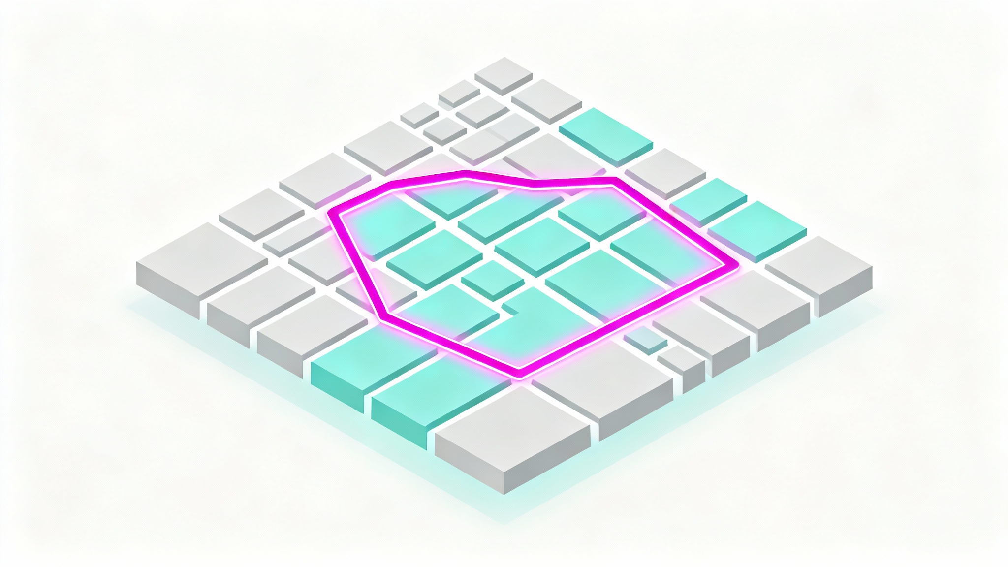
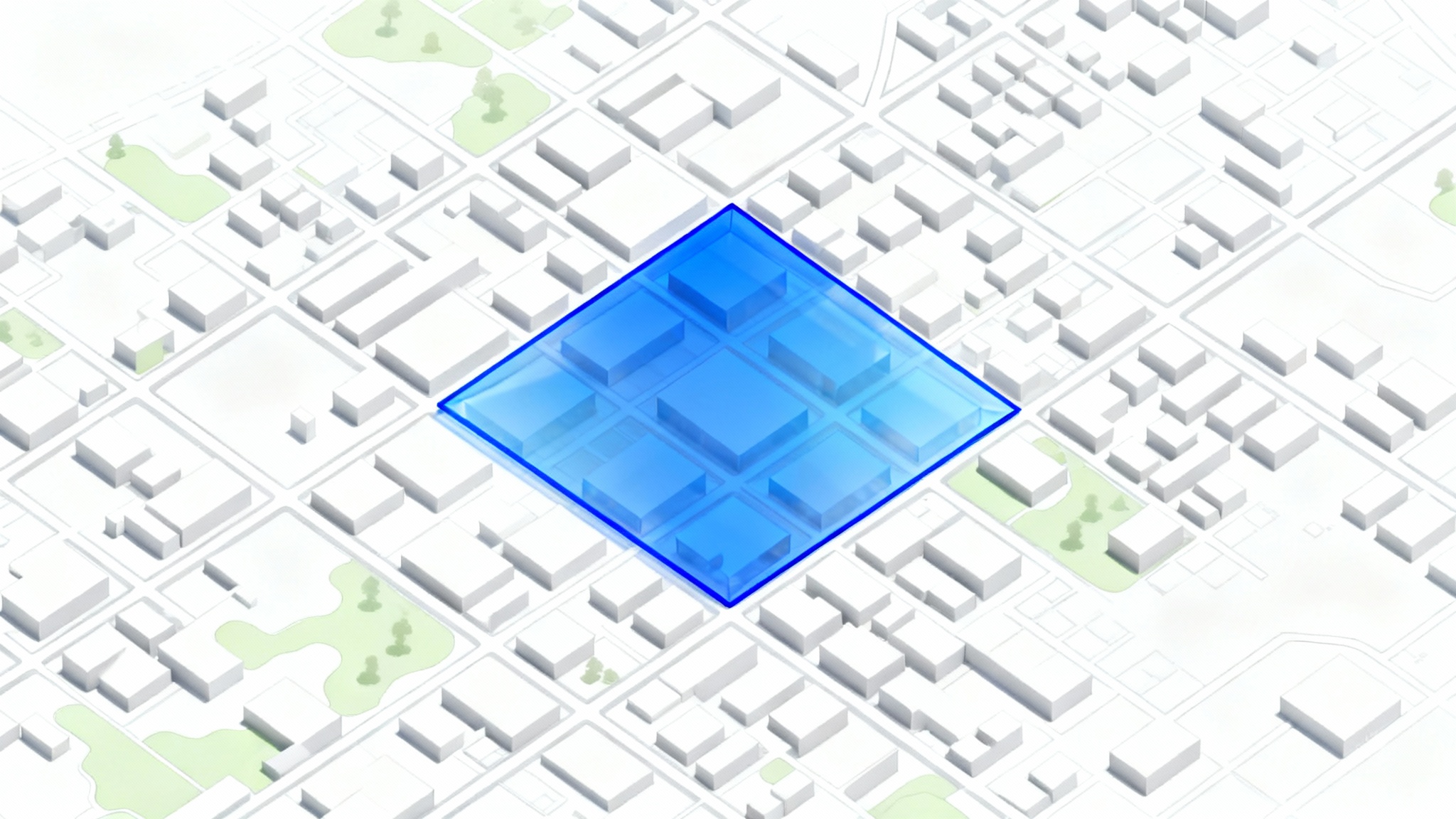
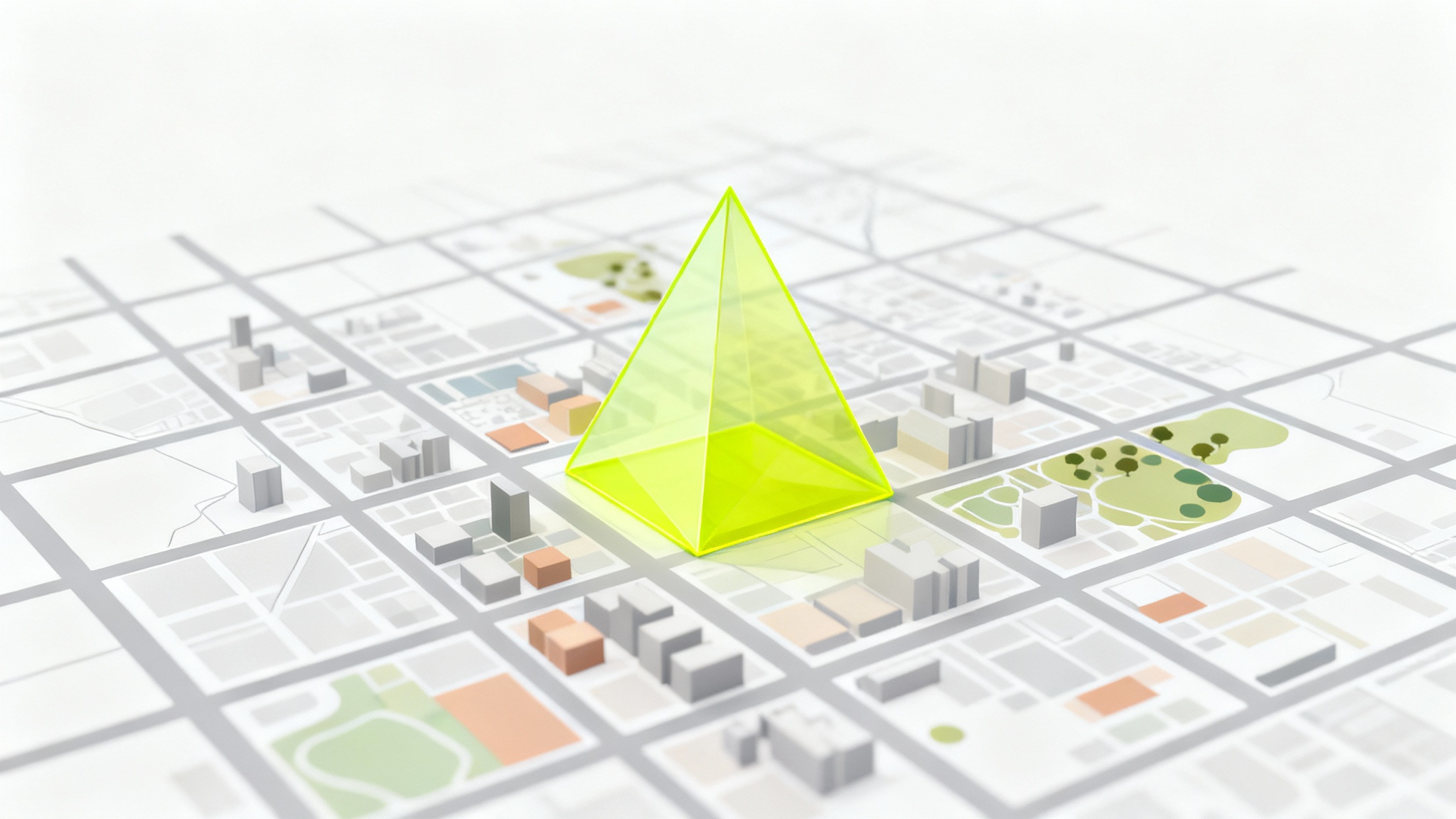
Simply upload your map image and then type a description of the polygon you need into the prompt box. For example, 'Draw a transparent red polygon around the main city park.' The AI will interpret your command and create the overlay for you.
No, you don't need any specialized GIS software or technical drawing skills. If you can describe the area you want to highlight in words, you can use our tool. It's designed to be intuitive for everyone, from students to professionals.
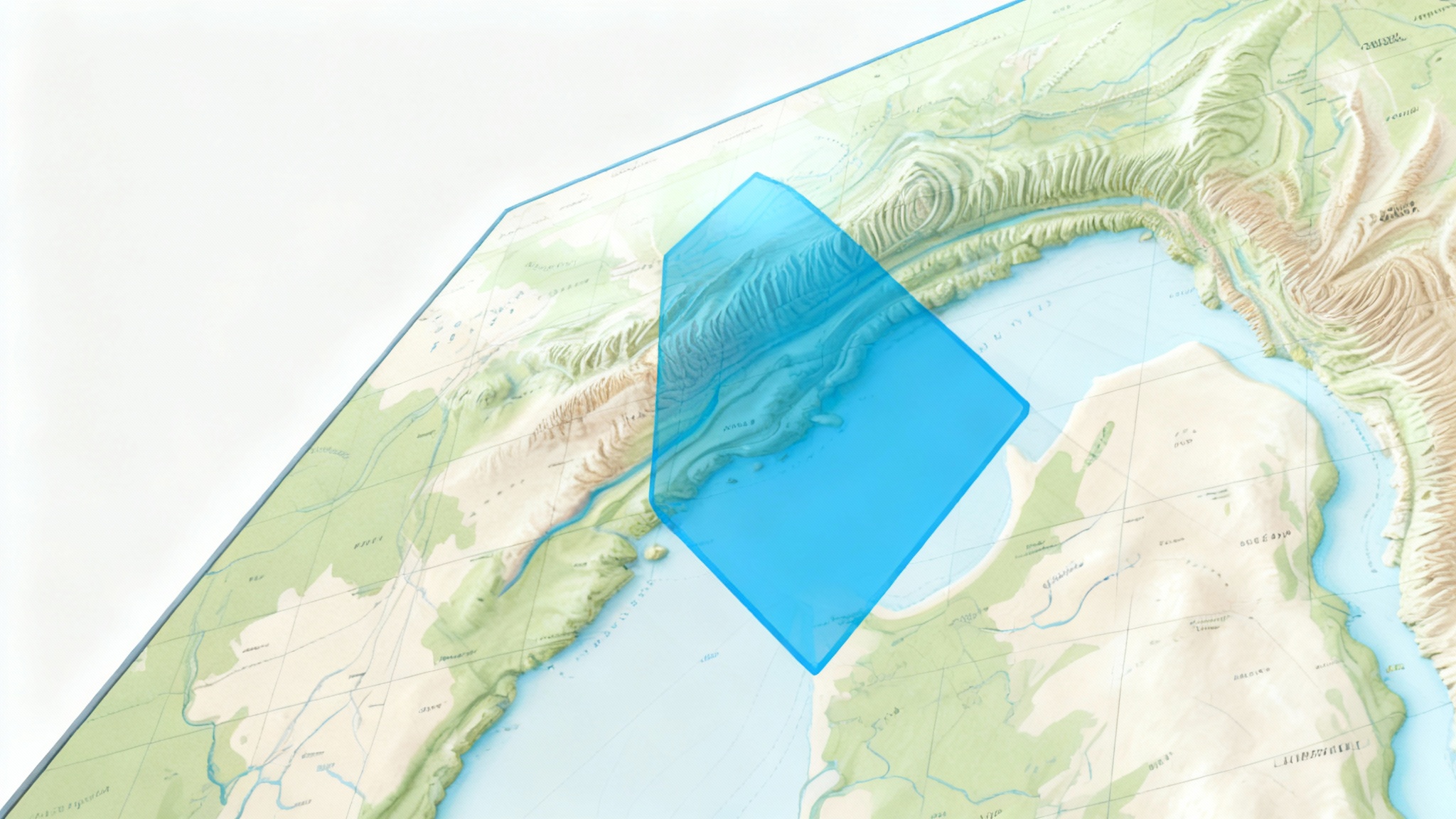
Yes. You can include details about the color and transparency in your text prompt. For instance, you could ask for a 'semi-transparent bright blue polygon' or a 'solid yellow polygon with a thick black border' to control the appearance of your map overlay.
You can upload almost any map image, including street maps, satellite images, topographical maps, or even custom-drawn maps for fantasy worlds or games. The tool works by editing the image you provide.
Your edited map, complete with the polygon you described, can be downloaded as a high-resolution, watermark-free PNG file. This format is ideal for presentations, reports, websites, and print.
Yes, for the AI to be accurate, your uploaded map should have clear labels for those streets or landmarks. When you write your prompt, reference those visible labels, for example, 'Draw a polygon bounded by Oak Street, Pine Avenue, and the river.'
Great app, easy to use. Helps our small business save time and money to create different marketing materials professionally. Thank you.
I need a good background remover for my work and I've been through them all it feels like. This one is the best by far. It's so easy to use and the results always look amazing. Thank you Pixelcut!
It's amazingly easy and gives the perfect results for my bags and accessories. It looks like it was done by a professional photographer.